

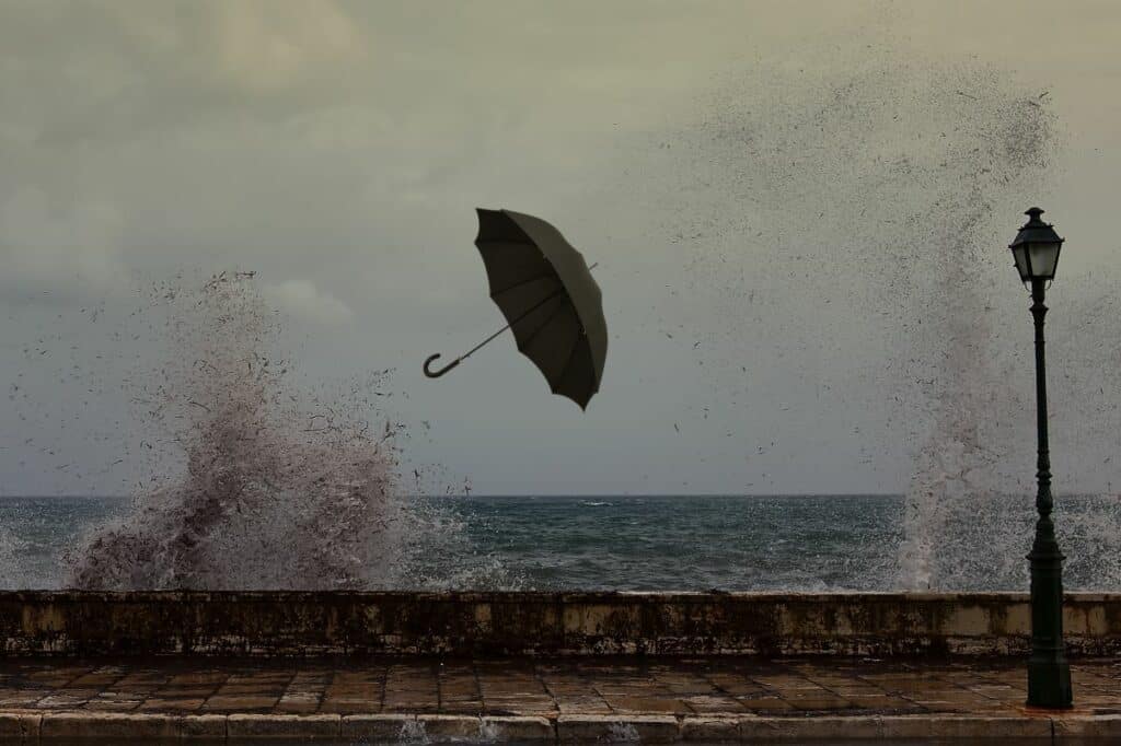
An amber warning for very strong winds has been issued ahead of Storm Éowyn hitting Cumbria
The Met Office has issued the amber warning – on top of its previous yellow warning – throughout the day on Friday January 24. It said the storm is likely to bring the strongest winds of winter so far and that widespread disruption is expected.
It has now also issued further yellow warnings for strong winds from 8am until 3pm on Sunday.
The weather forecaster said the storm will move across the northwest of the UK on Friday, clearing to the northeast on Friday night.
It is expected to bring very strong west to south westerly winds, with peak gusts of 60 to 70mph fairly widely inland, 70 to 80mph in some areas, and 80-90mph or higher along more exposed coasts and hills.
A slight reduction in wind strength may occur as the centre of Storm Éowyn passes overhead, this most likely in parts of Northern Ireland and western Scotland, before winds rapidly increase again. Winds will gradually ease later on Friday.
Temperatures are also expected to drop over the coming days and a yellow warning for snow has also been issued for part of Cumbria.
Outbreaks of rain spreading north eastward on Friday morning will fall as snow initially, especially on hills, before reverting to rain and eventually easing.
What should I expect?
- Power cuts are likely to occur, with the potential to affect other services, such as mobile phone coverage
- Road, rail, air and ferry services are likely to be affected, with longer journey times and cancellations possible. Some roads and bridges will close
- There is a chance that damage to buildings and homes could occur, with roofs blown off and power lines brought down
- Injuries and danger to life could occur from flying debris, as well as large waves and beach material being thrown onto sea fronts, coastal roads and properties

Why should I care about weather warnings?
Weather warnings are issued to let people know what weather is in store for their area and what its impact could be.
The Met Office is the UK’s official weather service and is responsible for issuing weather warnings to the public.There are three main levels of weather warning:
- Yellow – which asks people to be prepared for disruption
- Amber – which asks people to change plans that could be impacted by the weather and take action to protect themselves and their property
- Red – which is issued for weather that poses a danger to life and asks people to immediately take direct action to keep themselves and others safe from impacts of the weather
Yellow and amber warnings represent a range of impact levels and likelihoods of. This means it is important to read each warning to know what level of impact to expect in your local area – and how likely those impacts are to occur.The Met Office began issuing impact-based warnings in 2011 – which means that warnings are issued when the weather may have an impact on people’s day to day lives.
Previous to this, warnings were issued to the public when certain weather thresholds or levels were reached.
Impact-based warnings take multiple factors into account – these include time of day, if it may impact traffic, time of year, if the weather is unusual, if there are any seasonal events taking place and if the area is well equipped to deal with the weather.
Each warning level is designed to help people take steps to minimise the chances of disruption in their lives.


