

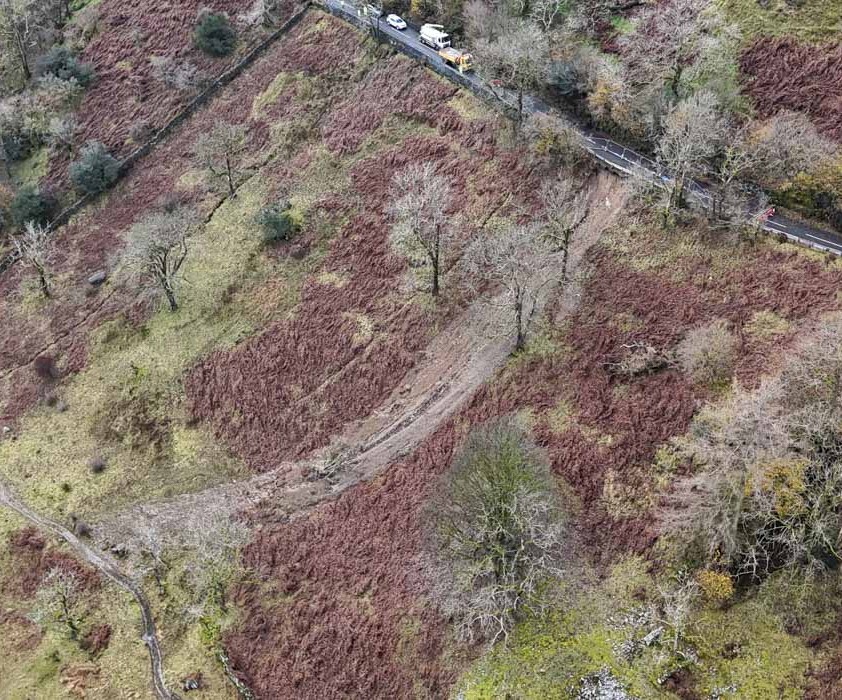
 Heavy snow showers and icy surfaces are likely to lead to travel disruption, particularly over higher routes.
Showers will turn increasingly to snow later on Monday, becoming frequent and heavy at times and lasting through Tuesday.
The snow showers will occur particularly over high ground giving locally 1-3 cm above around 150 metres and 3-8 cm above 300 metres.
Snow will gradually build, perhaps leading to accumulation of 10-15 cm on the highest routes.
Any snow accumulations over low ground are likely to be temporary.
Icy surfaces are likely to cause problems, especially overnight.
Strong winds will be an additional hazard with gusts of 50-60 mph at times leading to drifting of snow over high ground.
Further snow showers are likely on Wednesday morning. These are likely to lead to further accumulations of a few cm of snow over ground above around 150 metres.
Any snow accumulations over lower ground are likely to be temporary. Icy surfaces will be an additional hazard.
What to expect
- Some roads and railways likely to be affected with longer journey times by road, bus and train services
- Some injuries from slips and falls on icy surfaces
- Probably some icy patches on some untreated roads, pavements and cycle paths


