

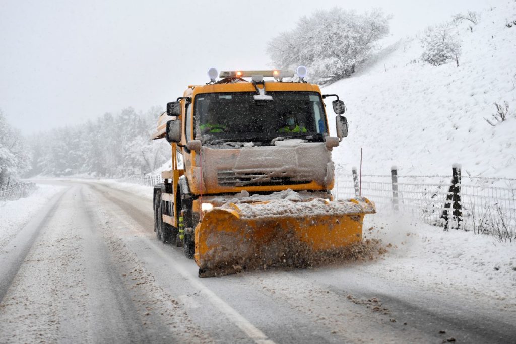
More snow and ice warnings have been issued for Cumbria this weekend.
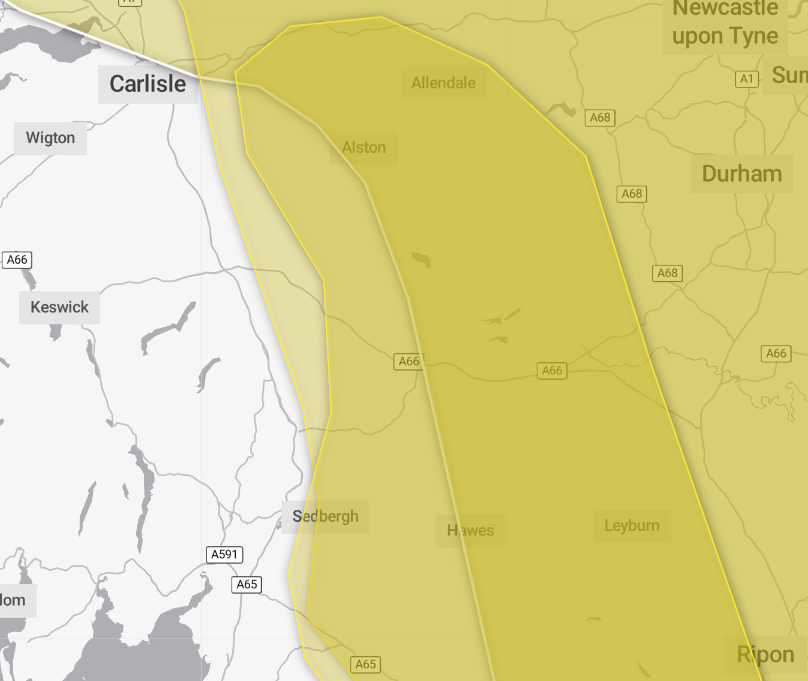
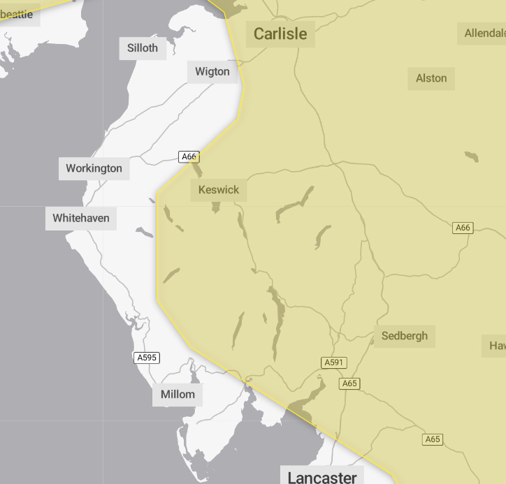
The Met Office has issued a yellow weather warning for snow and icy conditions from the early hours of Sunday until 3pm the same day.
Parts of the county including Brampton, Alston and Kirkby Stephen also have warnings in place for ice and snow from noon yesterday today until 3pm today, Saturday January 10.
The weather forecaster said on Sunday, a band of snow will move across the warning area, confined mainly to ground above 200 metres elevation.
It added that while not all areas may see accumulating snow at low levels, 2cm to 5cm is likely.
Those considering fell walking this weekend should be aware that snow above 200 metres elevation 10cm to 20cm is possible and up to 30cm of snow is possible on hills exposed to the strong southerly winds.
Strong winds will lead to some drifting of the snow, and widely icy conditions are likely.
The forecaster added that amounts of snow will depend quite heavily on both elevation and the intensity of precipitation, and as the band pushes east through the afternoon, it will begin to transition to an awkward mix of rain, sleet and snow.
It added there is likely to be a lot of variation, even over relatively short distances.
What should I expect today?
- Possible travel delays on roads stranding some vehicles and passengers
- Possible delays or cancellations to rail and air travel
- A chance of injuries from slips and falls on icy surfaces
- Bus and train services may be delayed or cancelled, with some road closures and longer journey times possible
- Power cuts may occur, with the potential to affect other services, such as mobile phone coverage
What should I expect on Sunday?
- Some roads and railways affected with longer journey times by road, bus and train services
- Some injuries from slips and falls on icy surfaces
- Icy patches on some untreated roads, pavements and cycle paths
Why should I care about weather warnings?
Weather warnings are issued to let people know what weather is in store for their area and what its impact could be.
The Met Office is the UK’s official weather service and is responsible for issuing weather warnings to the public. There are three main levels of weather warning:
- Yellow – which asks people to be prepared for disruption
- Amber – which asks people to change plans that could be impacted by the weather and take action to protect themselves and their property
- Red – which is issued for weather that poses a danger to life and asks people to immediately take direct action to keep themselves and others safe from impacts of the weather
Yellow and amber warnings represent a range of impact levels and likelihoods. This means it is important for people to read each warning to know what level of impact to expect in their local area – and how likely those impacts are to occur.
The Met Office began issuing ‘impact-based’ warnings in 2011 – which means that warnings are issued when the weather may have an impact on people’s day to day lives.
Previous to this, warnings were issued to the public when certain weather thresholds or levels were reached.
Impact-based warnings take multiple factors into account – these include time of day, if it may impact traffic, time of year, if the weather is unusual, if there are any seasonal events taking place and if the area is well equipped to deal with the weather.
Each warning level is designed to help people take steps to minimise the chances of disruption in their lives.


