Flood warnings and flood alerts remain in place for Cumbria.
The Met Office issued a weather warning from midnight until 11am yesterday and flooding of roads was widely reported across the county.
It said rain was expected to ease off yesterday afternoon.
Cumbria police urged drivers to take care on the roads.
People were advised not to drive through flood water. If drivers are in doubt, they should turn round and not risk it.
Roads
Cumberland Council issued an update about roads affected today.
It said its highways team handled over 200 calls plus online reports.
They raised 185 reports for flooding and drainage issues across Carlisle, Allerdale, and Copeland areas, including 45 emergency response calls.
Earlier today, Talkin to Farlam Road, the A5086 Mockerkin; Baggrow to Blennerhasset and the A595 at Holmrook were closed, but the authority said teams were heading out today to check remaining locations and remove flood signs.


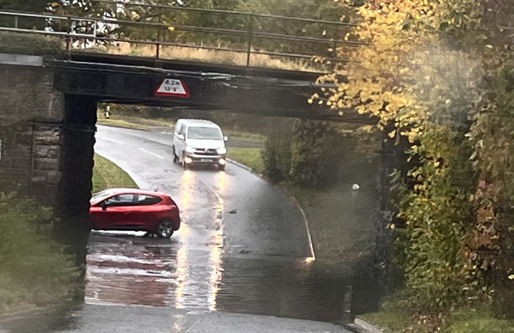
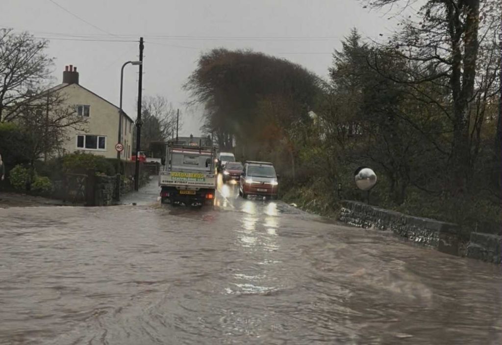
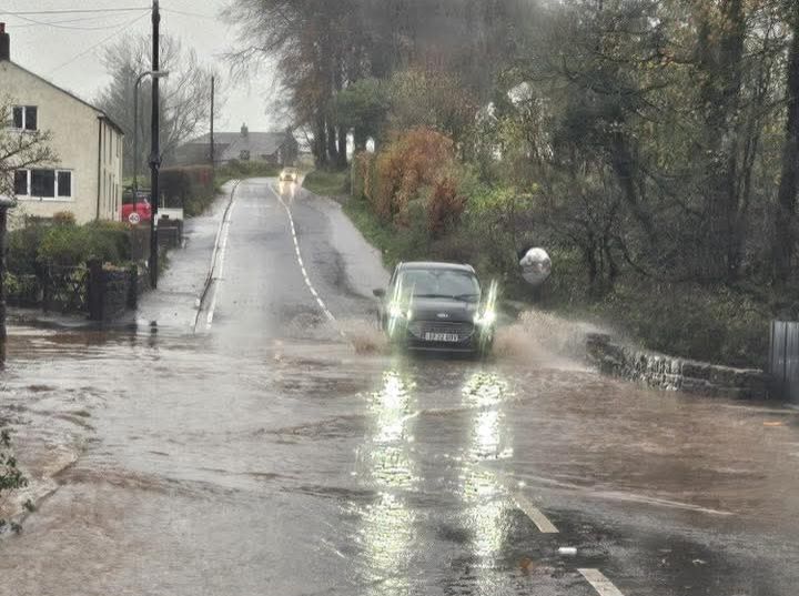


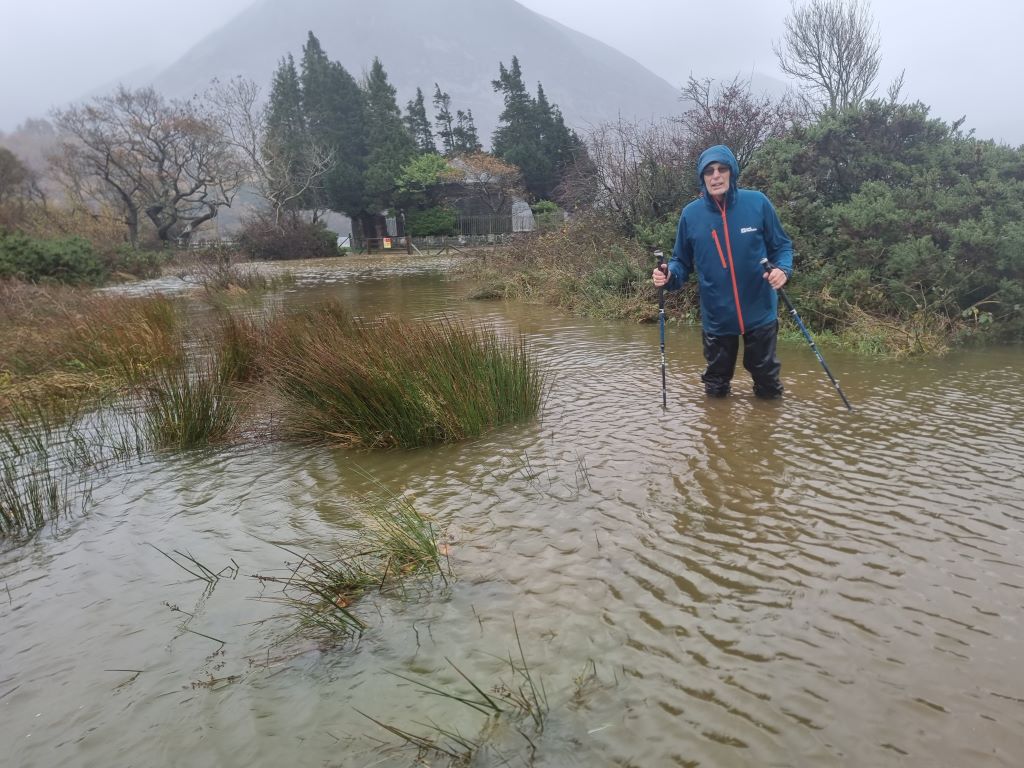
Cumbria Crack spoke to the people at Nook Farm in Rosthwaite.
They said the road coming out of Rosthwaite was impassable and fields were completely underwater.
Nook Farm said the area can flood quite quickly when the rivers are full, but if it stops flooding, can also recede quickly.
They added the rivers have been very full and over the last 36 hours it has rained a lot in the area.
The farm said most cars won’t get through the water, but that cars are still coming down the valley to try and get through.
They said this only makes life harder as once flood recedes as cars end up broken down and in the middle of the road.
Theresa Wood sent us a picture of the motorway bridge at Wreay. Her partner, Crawford Johnson, is pictured in waders with a giant rake unclogging the drain in the road.
Severe flooding has also been reported at Rothay bridge and under Loughrigg, Ambleside.
Drivers in the area are urged to proceed cautiously or avoid the area, as waves from cars driving through the floodwater are threatening nearby homes with flooding.
Flood warnings
Flood warnings – meaning flooding is expected and people should act immediately – are in place for:
- Keswick Campsite
- River Crake Valley
- Rivers Cocker and Derwent at Cockermouth, Cricket Ground, Trout Hotel Car Park, Hatters Croft
Flood alerts
Flood alerts are in place – meaning flooding is possible – at:
- Coast at Morecambe Bay
- Rivers Brathay, Rothay and Winster
- Rivers Cocker, Marron and Derwent
- Rivers Duddon, Crake and Mill Beck
- Rivers Ehen, Irt and Esk
- Rivers Lowther and Eamont
- Upper River Derwent, Stonethwaite Beck and Derwentwater
Removed flood alerts and warnings
- Brampton Beck at Brampton
- River Cocker at Southwaite Bridge
- River Caldew at Cummersdale
- Lower River Eden
- Middle River Eden
- Rivers Esk and Irthing
- River Rede
- River South Tyne
- Upper River Ribble, Hodder
- Upper River Tees
- Upper River Ure
- Wiza Beck and Black Beck at Wigton, Station Road
- River Eden at Carlisle, Rickerby Park, Swifts and Stoneyholme Golf Courses
- River Eden at Warwick Holmes
- River Ehen at Egremont, Bleach Green, Ennerdale Mill, Bridge End, Vale View, Wood Bank, Rugby Club
- River Greta at Keswick, Keswick Campsite, Rugby Club and Quinta
- Lower River Lune and Condor
- Rivers Caldew and Petteril
- Upper River Lune
- Rivers Greta, St John’s Beck and Bassenthwaite Lake
- Rivers Kent & Bela
- Rivers Wampool and Ellen
- Upper River Eden
What it is like where you are? Send us information and photos and video (although please do be careful and stay away from coastal areas) to [email protected]