

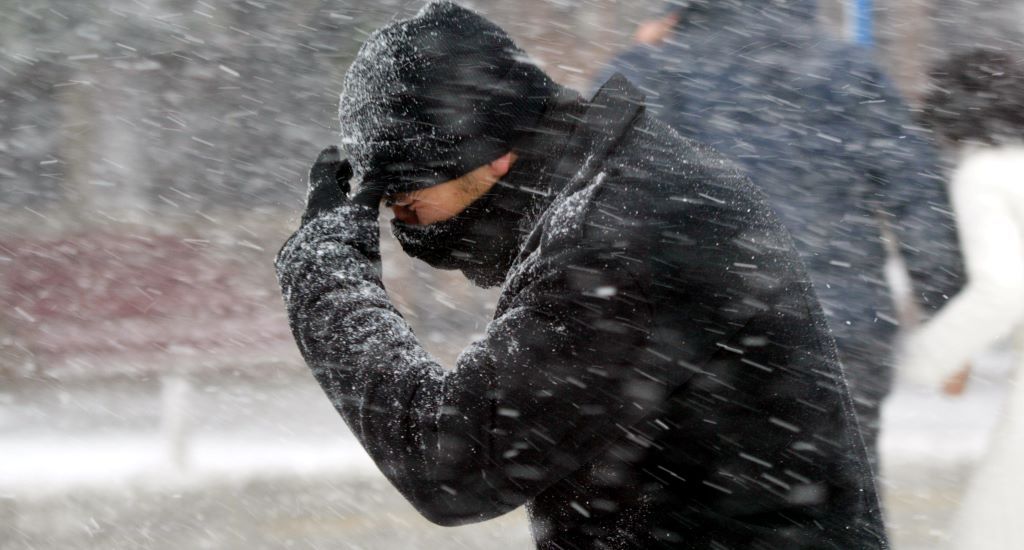
Cumbria is set to be hit by snow and ice this weekend.
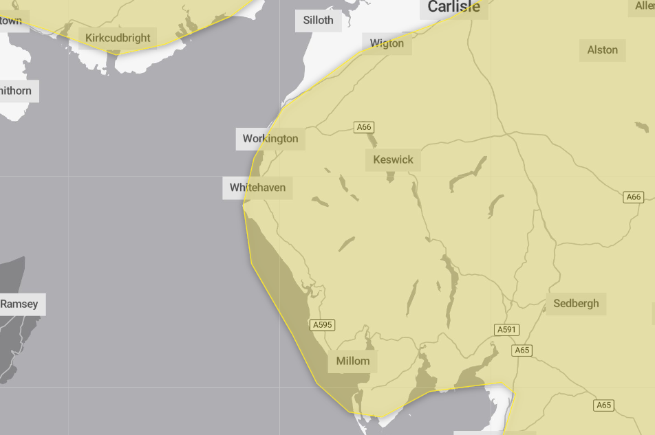
The Met Office issued yellow warnings for snow and icy conditions throughout yesterday, Friday February 13, until tomorrow, Sunday February 15 at 10am.
It said today the county can expect outbreaks of rain, sleet and snow likely to lead to icy surfaces and some travel disruption until midday.
The weather forecaster added that today from 9pm until 10am on Sunday morning will bring more snow, likely to be heavy at times, that may cause some disruption to travel, particularly over high ground.
It added that outbreaks of rain spreading eastwards on Saturday night will fall as snow initially, even at low levels for a time, before becoming confined to higher ground as milder air arrives from the west.
Temporary snow accumulations of 1cm to 3cm will be possible at low levels, with 3cm to 7cm possible above about 150m elevation, and around 10cm to 15cm above 400m.
But areas sheltered to the north of high ground may see very little snow.
Ice will also be an additional hazard, particularly where rain, snow or sleet has the potential to fall on frozen ground leading to very slippery conditions.
Snow will turn increasingly to rain into Sunday morning, and possibly as a short spell of freezing rain in places, before eventually clearing to the east with a steady thaw of lying snow then setting in.
What should I expect?
- Some injuries from slips and falls on icy surfaces
- Probably some icy patches on some untreated roads, pavements and cycle paths
- Some roads and railways likely to be affected with longer journey times by road, bus and train services
Why should I care about weather warnings?
Weather warnings are issued to let people know what weather is in store for their area and what its impact could be.
The Met Office is the UK’s official weather service and is responsible for issuing weather warnings to the public.
There are three main levels of weather warning:
- Yellow – which asks people to be prepared for disruption
- Amber – which asks people to change plans that could be impacted by the weather and take action to protect themselves and their property
- Red – which is issued for weather that poses a danger to life and asks people to immediately take direct action to keep themselves and others safe from impacts of the weather
Yellow and amber warnings represent a range of impact levels and likelihoods of. This means it is important to read each warning to know what kind of impact to expect in your area, and how likely those impacts are to occur.
The Met Office began issuing impact-based warnings in 2011, which means that warnings are issued whenever the weather may have an impact on people’s day to day lives.
Previous to this, warnings were issued to the public when certain weather thresholds or levels were reached.
Impact-based warnings take multiple factors into account, these include time of day, if it may impact traffic, time of year, if the weather is unusual, if there are any seasonal events taking place and if the area is well equipped to deal with the weather.
Each warning level is designed to help people take steps to minimise the chances of disruption in their lives.


