

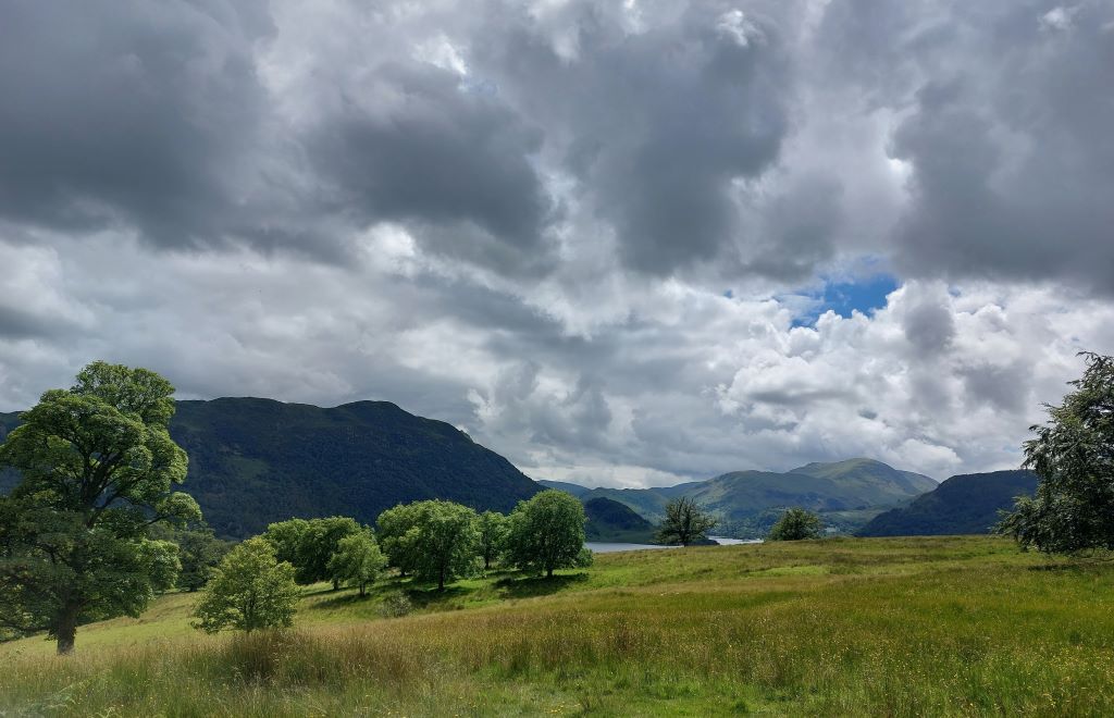
More stormy and unsettled weather is set to hit Cumbria over the coming days.
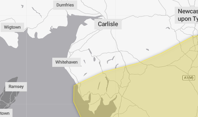
The Met Office has issued a yellow warning for strong winds for Sunday, September 14 from 8pm until 6pm on Monday.
It is also predicting strong gales, thunderstorms and periods of heavy rain mixed with spells of sunshine.
Sunday night and Monday are expected to bring the most intense period of weather with gusts of wind up to 45 to 55 mph expected widely inland, with gusts of 60 to 70 mph possible at times along exposed coasts and hills
The unsettled weather is set to continue into next week and on Tuesday a ridge of high pressure will bring a short-lived spell of more settled conditions before another low pressure system is likely to affect areas across the UK on Wednesday.
What should I expect during the weather warning?
- Some delays to road, rail, air and ferry transport are likely
- It’s likely that some coastal routes, sea fronts and coastal communities will be affected by spray and/or large waves
- Probably some bus and train services affected, with some journeys taking longer
- Some short term loss of power and other services is possible
- Delays for high-sided vehicles on exposed routes and bridges likely
Why should I care about weather warnings?
Weather warnings are issued to let people know what weather is in store for their area and what its impact could be.The Met Office is the UK’s official weather service and is responsible for issuing weather warnings to the public.
There are three main levels of weather warning:
- Yellow – which asks people to be prepared for disruption
- Amber – which asks people to change plans that could be impacted by the weather and take action to protect themselves and their property
- Red – which is issued for weather that poses a danger to life and asks people to immediately take direct action to keep themselves and others safe from impacts of the weather
Yellow and amber warnings represent a range of impact levels and likelihoods. This means it is important to read each warning to know what level of impact to expect in your local area – and how likely those impacts are to occur. The Met Office began issuing impact-based warnings in 2011 – which means that warnings are issued when the weather may have an impact on people’s day to day lives.
Previous to this, warnings were issued to the public when certain weather thresholds or levels were reached.
Impact-based warnings take multiple factors into account – these include time of day, if it may impact traffic, time of year, if the weather is unusual, if there are any seasonal events taking place and if the area is well equipped to deal with the weather.
Each warning level is designed to help people take steps to minimise the chances of disruption in their lives.


