


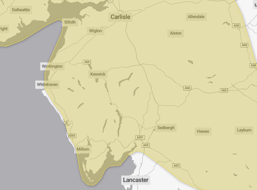
A weather warning has been issued for Cumbria for ice.
The Met Office has issued the yellow weather warning until 11am today, Wednesday November 19.
It said outbreaks of rain will spread southwards this evening. It will fall as snow on hills with accumulations of 2cm to 5cm possible in places above 300m elevation.
As rain and hill snow clears to the south overnight last night, temperatures falling to or below freezing will lead to the risk of icy patches on untreated surfaces today.
What should you expect?
- Probably some icy patches on some untreated roads, pavements and cycle paths
- Some injuries from slips and falls on icy surfaces
What should you do?
- Keep yourself and your family safe when it is icy. Plan to leave the house at least five minutes earlier than normal. Not needing to rush, reduces your risk of accidents, slips, and falls.
- If you need to make a journey on foot, try to use pavements along main roads which are likely to be less slippery. Similarly, if cycling, try and stick to main roads which are more likely to have been treated.
- Give yourself the best chance of avoiding delays by checking road conditions if driving, or bus and train timetables, amending your travel plans if necessary.
- Be prepared for weather warnings to change
Why should I care about weather warnings?
Weather warnings are issued to let people know what weather is in store for their area and what its impact could be.The Met Office is the UK’s official weather service and is responsible for issuing weather warnings to the public.
There are three main levels of weather warning:
- Yellow – which asks people to be prepared for disruption
- Amber – which asks people to change plans that could be impacted by the weather and take action to protect themselves and their property
- Red – which is issued for weather that poses a danger to life and asks people to immediately take direct action to keep themselves and others safe from impacts of the weather
Yellow and amber warnings represent a range of impact levels and likelihoods. This means it is important to read each warning to know what level of impact to expect in your local area – and how likely those impacts are to occur.
The Met Office began issuing impact-based warnings in 2011 – which means that warnings are issued when the weather may have an impact on people’s day to day lives.
Previous to this, warnings were issued to the public when certain weather thresholds or levels were reached.
Impact-based warnings take multiple factors into account – these include time of day, if it may impact traffic, time of year, if the weather is unusual, if there are any seasonal events taking place and if the area is well equipped to deal with the weather.
Each warning level is designed to help people take steps to minimise the chances of disruption in their lives.


