

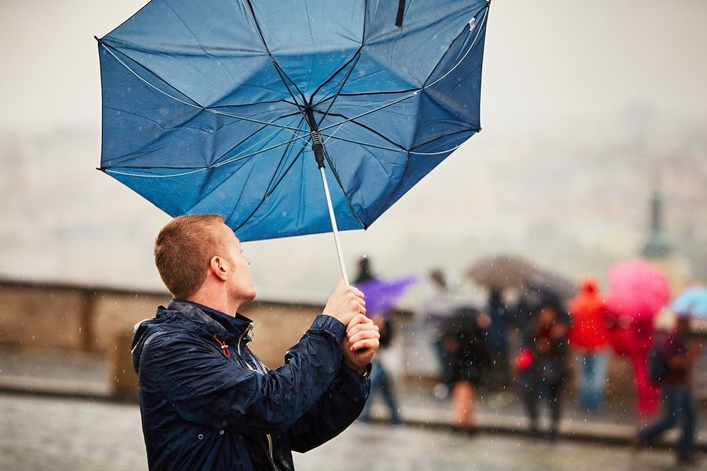
Storm Dave is set to hit Cumbria with strong winds over the Easter weekend.
The Met Office has issued a yellow weather warning for very strong winds from 6pm from tomorrow, Saturday April 4 until noon on Sunday April 5.
It added that the warning is part of Storm Dave and may result in some damage and travel disruption.
Peak gusts of 50mph to 60mph will be possible fairly widely, with 60mph to 70mph possible in more exposed locations.
The wind speeds will peak at different times as the storm moves across the north of the UK.
Periods of heavy rain and snow over the hills are also possible.
Storm Dave was named earlier this morning by The Met Office.
Cumbria Fire & Rescue Service is asking people to stay safe and look after others including any vulnerable people.
The service added that people should keep their phones fully charged and those travelling should do so with caution and lower their speed.
If you spot a problem on the road:
- Cumberland Council: Report online at cumberland.gov.uk/parking-roads-and-transport or call 0300 373 3736.
- Westmorland and Furness Council: Report online at westmorlandandfurness.gov.uk/parking-streets-and-transport or call 0300 373 3306
- If you experience a power cut, call 105 for Electricity North West.
- If you experience water supply issues, call 0345 672 3723 for United Utilities.
What should I expect?
- Some delays to road, rail, air and ferry transport are likely with a chance of cancellations to some services
- There is a slight chance that power cuts may occur, with the potential to affect other services, such as mobile phone coverage
- Delays for high-sided vehicles on exposed routes and bridges likely with a chance that some roads and bridges could close
- There is a slight chance of some damage to buildings, such as tiles blown from roofs
- There is a small chance that injuries could occur from large waves and beach material being thrown onto sea fronts, coastal roads and properties
Why should I care about weather warnings?
Weather warnings are issued to let people know what weather is in store for their area and what its impact could be.
The Met Office is the UK’s official weather service and is responsible for issuing weather warnings to the public.
There are three main levels of weather warning:
- Yellow – which asks people to be prepared for disruption
- Amber – which asks people to change plans that could be impacted by the weather and take action to protect themselves and their property
- Red – which is issued for weather that poses a danger to life and asks people to immediately take direct action to keep themselves and others safe from impacts of the weather
Yellow and amber warnings represent a range of impact levels and likelihoods of. This means it is important to read each warning to know what kind of impact to expect in your area, and how likely those impacts are to occur.
The Met Office began issuing impact-based warnings in 2011, which means that warnings are issued whenever the weather may have an impact on people’s day to day lives.
Previous to this, warnings were issued to the public when certain weather thresholds or levels were reached.
Impact-based warnings take multiple factors into account, these include time of day, if it may impact traffic, time of year, if the weather is unusual, if there are any seasonal events taking place and if the area is well equipped to deal with the weather.
Each warning level is designed to help people take steps to minimise the chances of disruption in their lives.


