


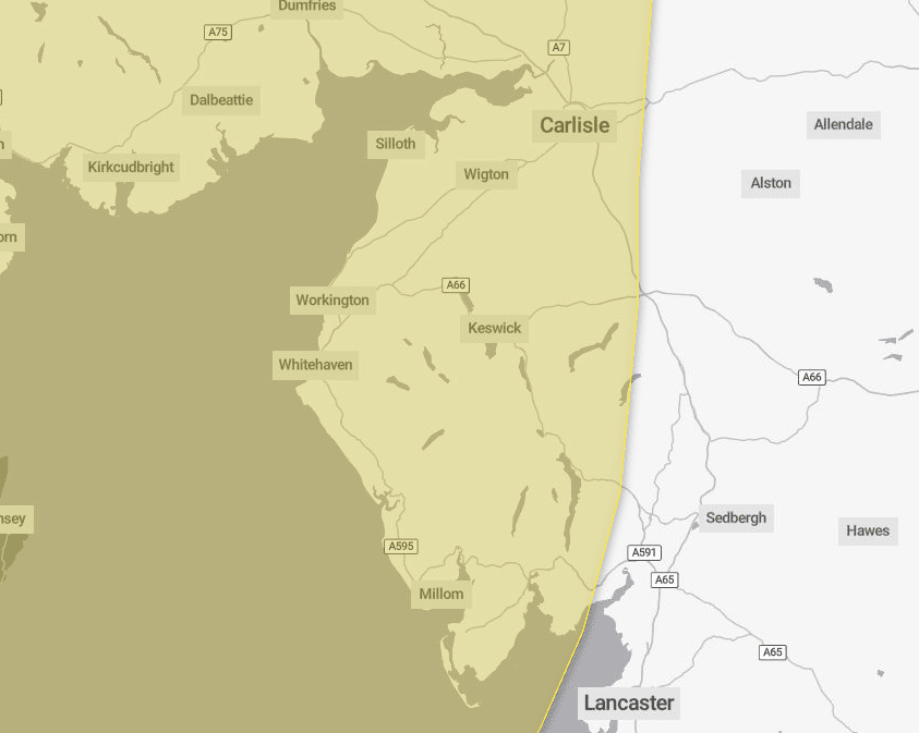
The Met Office has issued a weather warning for Cumbria this weekend.
It said a spell of strong winds could cause disruption on Sunday and into Monday.
It said a windy period was expected across the whole of the UK on Sunday and into Monday and across parts of Scotland, Northern Ireland, North West England and North West Wales there is an increased chance of some disruption.
Initially a period of strong south to south easterly winds will likely develop through Sunday morning, with gusts of 50mph to 60 mph possible in some inland areas, especially Northern Ireland and western Scotland, and perhaps up to 60mph to 70mph along exposed coasts and hills.
Winds will then likely turn south westerly, with a period of especially strong winds possible during Sunday afternoon and evening in western Scotland where gusts could potentially reach 70mph to 80mph in exposed areas, and more generally 55mph to 65mph in other parts of the warning area.
The strong winds, in conjunction with high spring tides, may cause some disruption.
What should I expect?
- There is a small chance of longer journey times or cancellations as road, rail, air and ferry services are affected
- There is a slight chance of some damage to buildings, such as tiles blown from roofs
- There is a small chance that injuries and danger to life could occur from large waves and beach material being thrown onto sea fronts, coastal roads and properties
- There is a slight chance that power cuts may occur, with the potential to affect other services, such as mobile phone coverage
- There is a small chance of injuries and danger to life from flying debris
- There is a small chance that some roads and bridges could close
Flood alerts
Flood alerts – meaning flooding is possible – are in place for:
Coast at Barrow
Flooding is not during the high tide this afternoon, which is expected to peak at 12.30pm. However, the following high tide tonight, which will peak at 12.30am on October, may result in further flooding. Flooding will be possible several hours either side of this time.
People are asked to be careful along beaches, promenades, coastal footpaths and roads as large waves and sea spray could be dangerous.
North Morecambe Bay
High tide levels are expected at North Morecambe Bay from Roosebeck to Carnforth including low lying areas around Ulverston, Greenodd, Haverthwaite, Flookburgh, Grange-over-Sands, Levens, Milnthorpe, Sandside, Arnside and Silverdale at 12.30pm today, October 18, with flooding of roads and low lying land possible several hours either side of this time.
Further flood alerts are likely to be issued for each high tide until Monday, October 21, due to a combination of spring tides, strong wind and low pressure.
Flood gates at Arnside promenade have been closed.
Coast from Gretna to Silloth
Flooding of roads and low lying land is possible.
High tide levels are expected on Coastline from Gretna to Silloth at 12.30pm today, October 18, with flooding of roads and low lying land possible several hours either side of this time.
Further flood alerts are likely to be issued for some high tides until Monday, October 21, due to a combination of spring tides, strong wind and low pressure.
Flood gates at Skinburness Marsh have been closed.


