

Updated gritting maps are issued by Cumberland and Westmorland & Furness councils every day when their gritters are out on the road networks.
Cumberland Council’s highway network has over 3,600km of carriageway. Cumbria has a huge network of roads and in order to tackle them with grit, a hierarchy has been created.
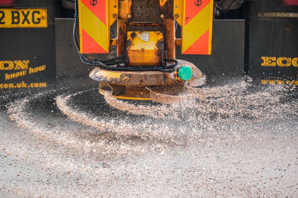
The policy works preventatively by pre-salting the county’s most essential roads before bad weather.
But to define what makes a road essential, the council have split them into levels of priority – primary, secondary, category 3, urban footways.
Where is Cumberland Council gritting today?
Here is the map issued by Cumberland Council today, Sunday January 5 for its scheduled gritting routes:
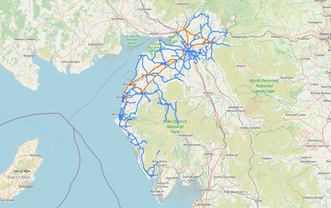
The blue roads are primary and secondary routes, the orange route is the Carlisle Northern Development Route, a network to take traffic away from Carlisle city centre and improve transport links between West Cumbria, Scotland and the North East of England.
Westmorland & Furness Council has a fleet of 20 gritters and for 2024/2025, there is a stockpile of 12,000 tonnes of salt at its depots in Alston, Barrow, Kirkby Stephen and Penrith.
The council’s road network is split into 20 priority one and priority two gritting routes.
Priority one and two roads combined account for around 840 miles, which equates to a quarter of the road network in Westmorland and Furness – the same distance as driving from Kendal to Zurich in Switzerland.
It can take gritters up to five hours to grit one road.
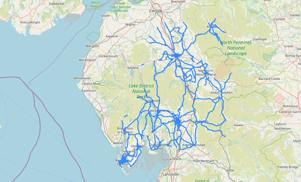
Where is Westmorland & Furness Council gritting today?
Westmorland & Furness Council’s gritting routes today are:

