


Whitehaven harbour’s orange water is visible from space.
The European Space Agency has photographed the town and the rest of Cumbria as part of its Copernicus Sentinel-2 mission.
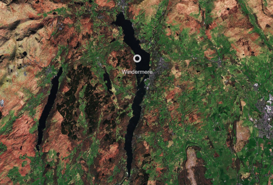
Most of the county, its coastline and the Lake District can be seen in the images, alongside Morecambe Bay, the Irish Sea and the Isle of Man.
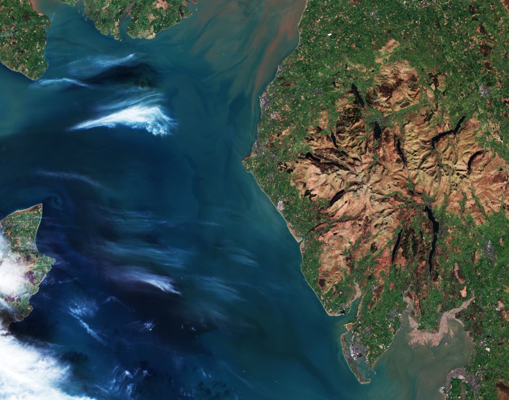
Whitehaven harbour’s orange water is also visible in the images, which were published over the weekend.
The Sentinels are a fleet of satellites that look down on the planet and gather vast quantities of data that feed into Copernicus, Europe’s Earth observation programme.
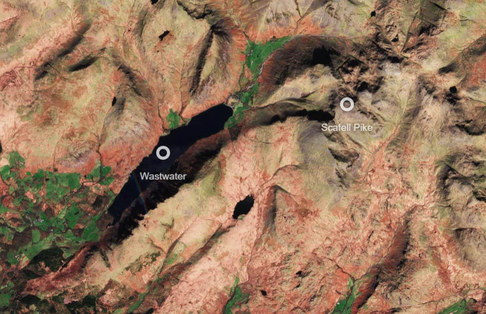
Satellite Sentinel-2C has photographed the Lake District this year after it launched in November 2024. It last photographed Zanzibar in Tanzania.
Sentinel-2A was launched on 23 June 2015 and Sentinel-2B followed on 7 March 2017. On 5 September 2024, Sentinel-2C was launched to join its siblings and continue the mission.
Images gathered by the satellites provide valuable data for scientists to help them respond to natural disasters, monitor pollution and inform action on climate change.
It also helps them monitor things like the spread of wildfires to support emergency services, to detecting methane leaks from pipelines and power plants.
The satellites can also provide imagery of vegetation, soil and water cover, as well as inland waterways and coastal areas for vital data collection – which can be used for things like monitoring the growth and health of crops and plants.
The UK participates fully in the Copernicus mission, through both its membership of the European Space Agency and EUMETSAT, and a participation agreement with the EU.


