

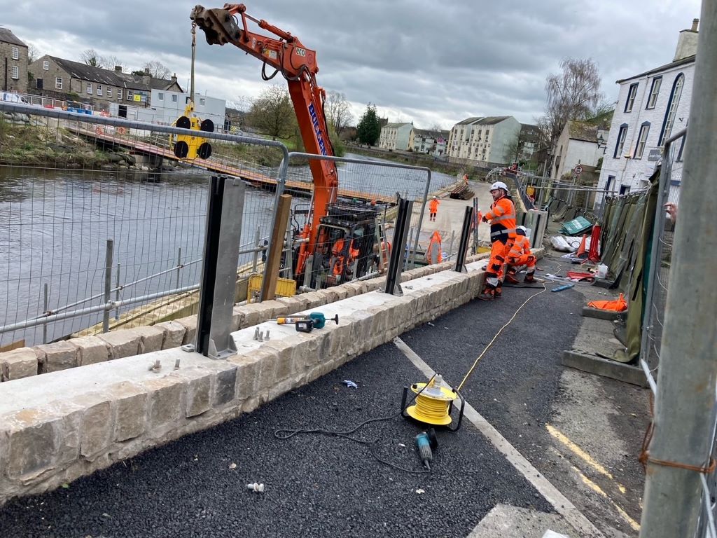
Work will begin to develop a flood storage area in Kendal as part of the town’s flood management scheme.
The Environment Agency has been working to identify sites suitable for flood storage in the upper catchment and said after an extensive assessment process, had identified a preferred location for the area on the River Mint, a key tributary of the River Kent.
It said it was an essential part of the scheme, which would will help reduce flood risk for communities of Kendal and downstream of the town.
Discussions with landowners have started, it added, and the Environment Agency will work with them to conduct further surveys and investigations within the identified area. It builds on the extensive programme of work already carried out over the last 12 to 18 months.
Next steps will include ground investigations, such as seismic refraction, and boreholes, which will gather further detailed information about ground conditions, including the depth and formation of the bedrock.
The data gathered, together with hydraulic modelling, will be used to inform development of the outline design for the scheme.
All potential sites will be put through a detailed assessment process, using the Environment Agency’s key tests, to gauge whether they are technically feasible, environmentally sustainable, economically viable, affordable, socially acceptable and safe to build.
It said while a preferred location for flood storage for this phase of the Kendal and Upper Kent Flood Risk Management Scheme had been identified, the other 22 shortlisted sites identified might be reconsidered in the future if additional flood storage was needed to strengthen the long-term resilience of the catchment and ensure it continues to protect communities in a changing climate.
Richard Knight, area flood and coastal risk manager, said: “The flood storage location identified, combined with linear defences in Kendal is essential in reducing flood risk. The proposed location will maximise the existing natural flood plain in storm conditions and temporarily hold excess water.
“The land within the storage area can continue to be used during normal conditions and will only be used to hold excess flood water temporarily in extreme storm conditions. Outside of flood events the River Mint will always have free flow, and the movement of fish and other river wildlife will be maintained.
“Whilst we are in the very early stages of design development, flood storage areas generally consist of raised earth embankments, incorporating structures to control flow downstream during extreme high river levels.”
Work will also continue to identify measures for the villages of Burneside, Staveley and Ings, the Environment Agency added.


