

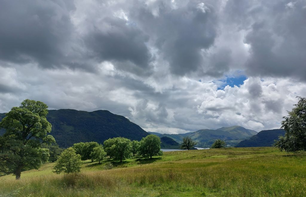
A thunderstorm warning has been issued for Cumbria.
The Met Office issued a yellow warning for possible thunderstorms from midnight until 10am today, Friday June 26.
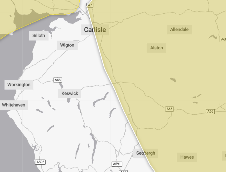
An additional warning is also in place until 9pm tonight for part of the county, including Carlisle, Penrith, Alston and Kirkby Stephen.
Storms are expected widely across the UK and the forecaster said many areas may miss the worst, but that it could bring disruption in some places.
The storms were expected to move northeastwards across parts of England and Wales during the early hours of Friday, clearing during Friday morning.
They may produce sudden, gusty winds with 50mph to 60mph possible, particularly in the south and west of the warning area.
Frequent lightning, hail and heavy rain – possibly 15 to 20mm in an hour – are additional hazards.
What should I expect?
- There is a slight chance that power cuts could occur and other services to some homes and businesses could be lost
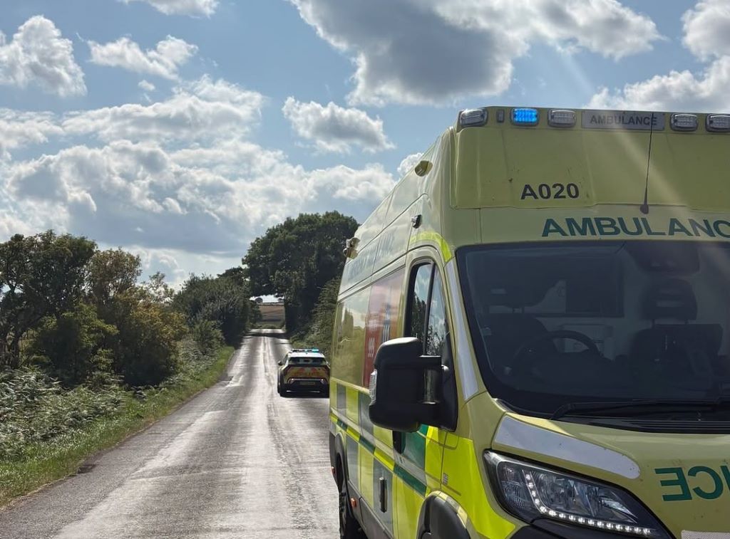
- Where lightning strikes or flooding occurs, there is a chance of delays and some cancellations to train and bus services
- There is a small chance that homes and businesses could be flooded quickly, with damage to some buildings from floodwater, lightning strikes, hail or strong winds
- Spray and sudden flooding could lead to difficult driving conditions and some road closures
Why do you bother sharing weather warnings?
Weather warnings are issued to let people know about potentially disruptive weather and what its impact could be locally.
The Met Office is the UK’s official weather service and it is responsible for issuing weather warnings to the public.
There are three main levels of weather warning:
- Yellow – which asks people to be prepared for disruption
- Amber – which asks people to change plans that could be impacted by the weather and take action to protect themselves and their property
- Red – which is issued for weather that poses a danger to life and asks people to immediately take direct action to keep themselves and others safe from impacts of the weather
Yellow and amber warnings represent a range of impact levels and likelihoods.
This means it is important for people to read the weather warning to know what level of impact to expect in their local area – and how likely those impacts are to occur.
The Met Office began issuing ‘impact-based’ warnings in 2011 – which means that warnings are issued when the weather may have an impact on people’s day to day lives.
Previous to this, warnings were issued to the public when certain weather thresholds or levels were reached.
Impact-based warnings take multiple factors into account – these include time of day, if it may impact traffic, time of year, if the weather is unusual, if there are any seasonal events taking place and if the area is well equipped to deal with the weather.
Each warning level is designed to help people take steps to minimise the chances of disruption in their lives.


